The ground is not finished
Can a continent move if you cannot feel it?
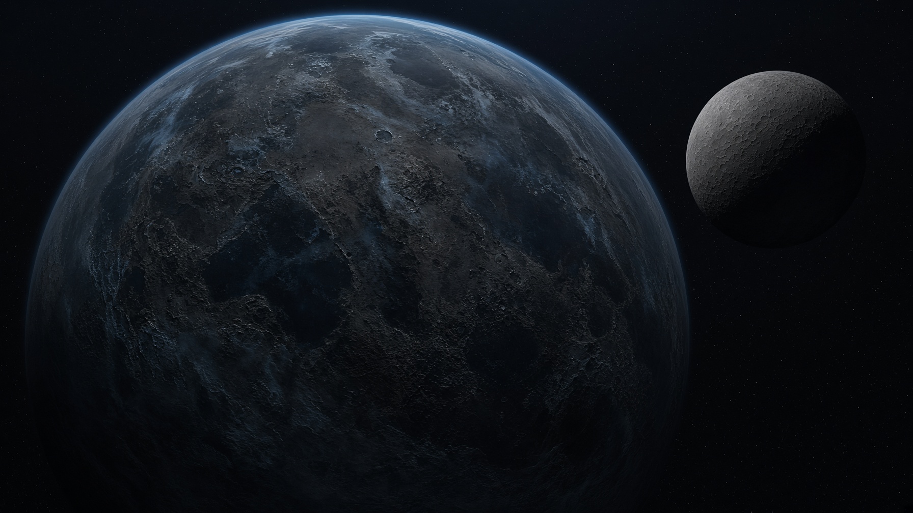
Pangaea about 250 million years ago · The whole planet · Scientific visualization
Planet-scale view. Paleogeography in this room is a schematic model, not a surveyed historical map.
First look
Can a continent move if you cannot feel it?
Wonder. Then look. This is not a test.
Continents move a few centimeters each year, about as fast as a fingernail grows.
Over a million years, that becomes kilometers.
The Atlantic opened. India traveled. Pangaea assembled and later broke.
First look is enough. Keep looking is if you want more.
Planet field
Now
this year
The arrangement you already know. A schematic, not a survey.
Scientific visualization. Coastlines are models, not observed historical maps.
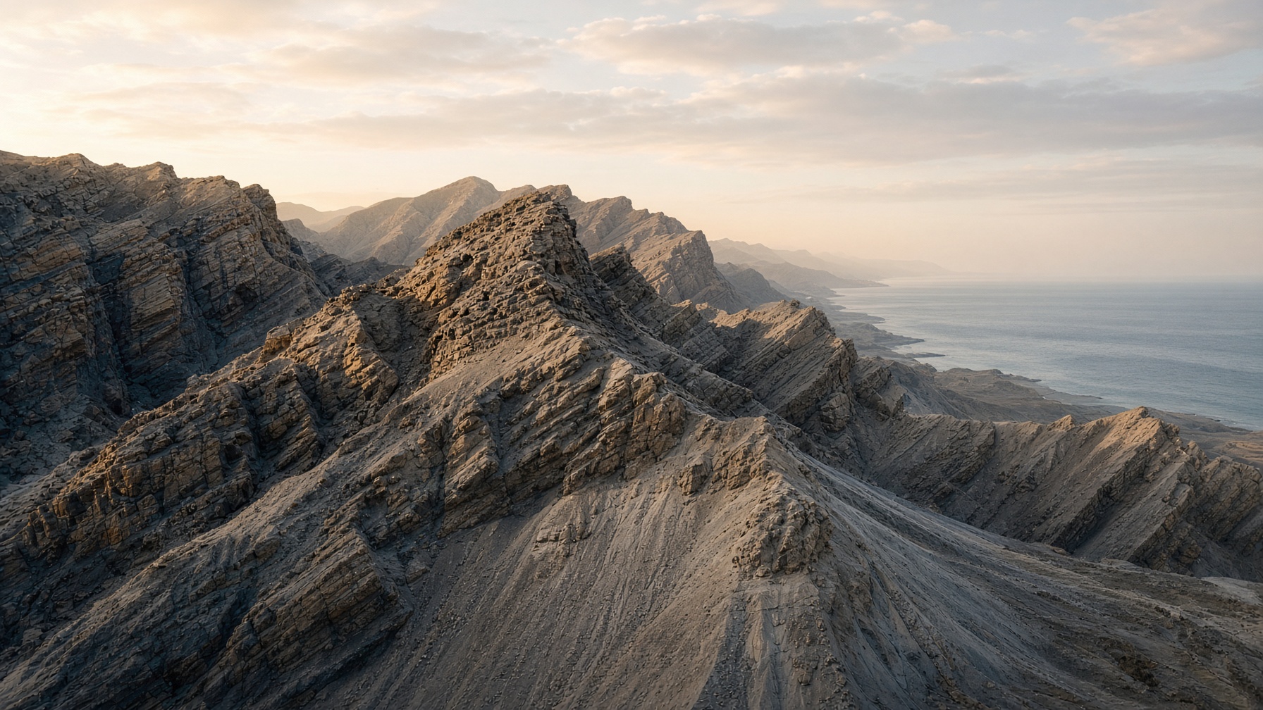
Can a mountain disappear?
Rock rises. Weather cuts. Sediment travels to the sea. Another range can grow from the same atoms later. Mountains are temporary on the only clock that matters here.
Keep looking
How would we know? Open only if you want the evidence.
Keep looking · How we know
Seafloor stripes record magnetic reversals. GPS measures motion now. Fossils and rock belts match across oceans. A map of the past is a model built from those records.
Keep looking · Mountains are temporary
Rock can rise, weather, and return to the sea. A mountain range is a slow event, not a permanent furniture of Earth.